Home > Creek Info > Resources
Resources
References
- Click here for a reference list with information about wildlife, history, water, research and management in the Rapid Creek catchment
Management plans
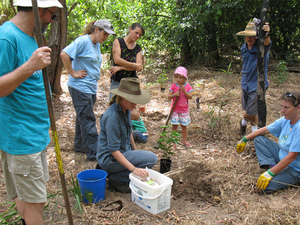
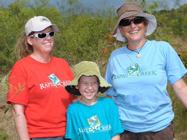
Landcare group papers
- Click here to read reports, fact sheets and submissions prepared by the Rapid Creek Landcare Group
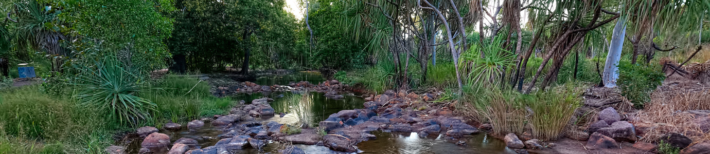
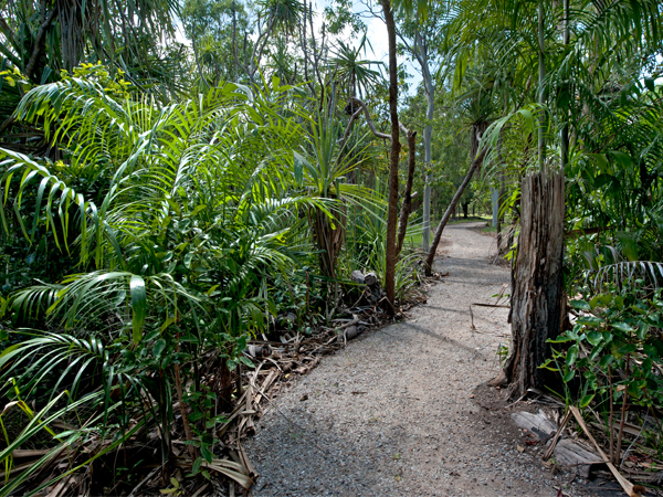
Maps and walking trails
- Download the new 2023 Rapid Creek Map (and the reverse side of map)
- Go to Explore Rapid Creek for colourful maps from the mouth of the creek to the airport
- This map of the whole Rapid Creek Catchment also shows walking tracks
- This aerial image shows the catchment boundary
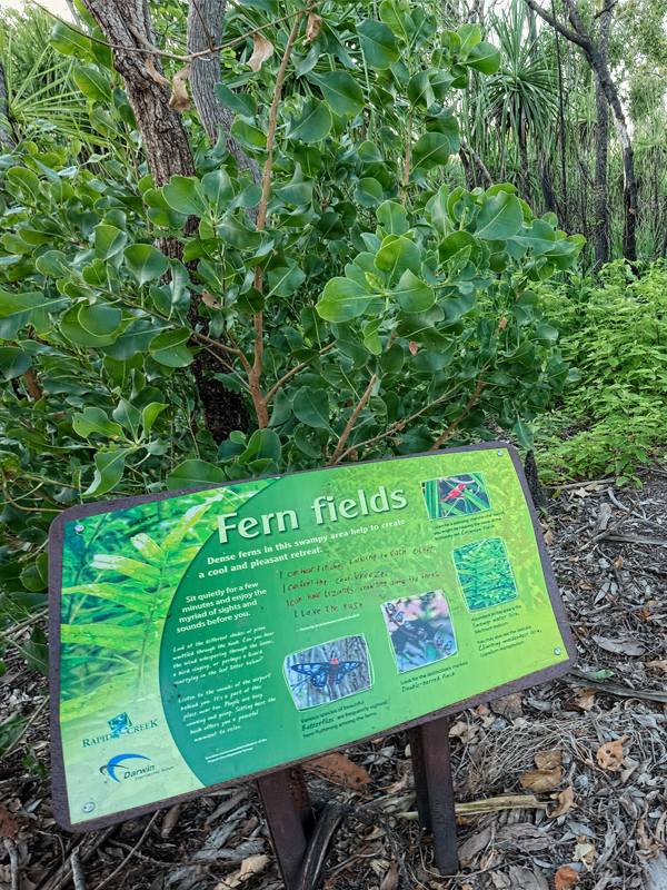
- The Darwin International Airport's Gurambai Trail takes you through their Rapid Creek Reserve
- The City of Darwin has interpretive information about Rapid Creek at the mouth of Rapid Creek
- This map shows The Spit where our working bees are often held